
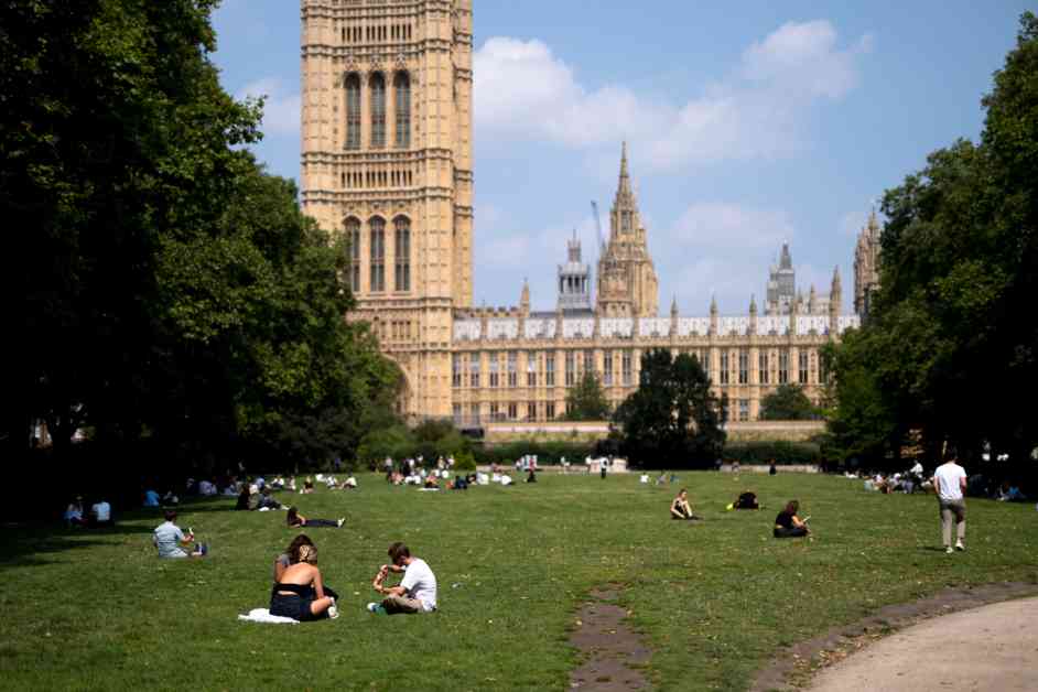
Today, London is experiencing what could potentially be the hottest day of the year so far, with temperatures expected to reach highs of 34 degrees. This surpasses the previous recorded high for the year in July, which was 32 degrees.
The hot weather is a result of tropical Storm Debby, which has strengthened the jet stream, bringing hot air to the UK over the weekend and into Monday. Met Office Deputy Chief Meteorologist, Dan Holley, explained that this hot and humid spell is expected to be relatively brief, with cooler and more unsettled conditions returning by Tuesday.
Temperatures are already starting high, with an overnight low of 20 degrees, and are expected to climb into the 30s by midday. Monday is predicted to be clear and sunny throughout the day, with temperatures cooling off towards the middle of the week.
There is a possibility of isolated thunderstorms in some areas, particularly in the late afternoon and overnight, adding to the warm and humid conditions.
The hour-by-hour forecast for Monday shows clear skies in the early hours, transitioning to sunny weather throughout the morning and afternoon. However, there may be some cloud build-up later in the day, increasing the chance of thunderstorms.
The Met Office’s full forecast for today predicts hot and humid weather, with locally very hot conditions, especially inland. While sunny spells are expected, there is a chance of thunderstorms developing by late afternoon and continuing overnight. The maximum temperature is forecasted to reach 34 degrees Celsius.
Overall, London is in for a scorching day, so it’s important to stay hydrated, seek shade, and take necessary precautions to beat the heat. Enjoy the summer weather, but make sure to stay safe and cool during this hot spell.


